Vulnerability assessment: Bangladesh and the Surging Sea
Vulnerability assessment: Bangladesh and the Surging Sea
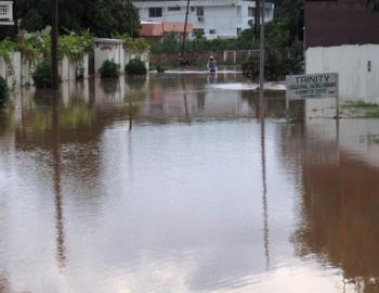
Due to its unique topography and high population density, Bangladesh is extremely vulnerable to rising sea levels this century. This vulnerability assessment presents an assessment of sea level rise and coastal flood exposure at national, division and district levels, using new high-resolution elevation data plus local sea level rise projections, tidal heights, minor flood heights, and population maps to analyze land area and current population below a range of potential water levels.
If global carbon emissions continue unabated, over 1,000 km2 of land in Bangladesh could be permanently under the new high tide line by 2100, on which more than 8 lakh people current live. Twice as much land and more than 20 lakh people are at risk of frequent flooding from storm surge plus tides. Barisal, Chittagong, and Khulna are the divisions holding most of the risk, while Chittagong and Cox’s Bazar (both in Chittagong division) are the leading districts in potential exposure this century.
A number of studies have investigated the impact of sea level rise on coastal flood exposure in Bangladesh during the most devastating storms, such as tropical cyclones. Such events are already catastrophic to lives and infrastructure in the low elevation coastal zone, and will become even more so with sea level rise adding to storm surge heights. However, rare extreme events are not the only coastal challenges Bangladesh will face in the coming decades. This report, from the Raising Risk Awareness initiative, focuses on land at risk of falling permanently below the future high tide line, and on threats from common floods as they reach ever higher. The analysis employs a recently published high-resolution digital elevation model covering Bangladesh, advancing prior research that has used models 3 to 30 times coarser in resolution.
Download the report here: Bangladesh and the Surging Sea


